

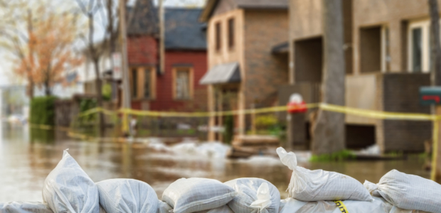

Natural disasters are also financial disasters, responsible for billions in property damage each year — and often resulting in inflated insurance premiums as well.
In 2025, natural catastrophes caused $103 billion in estimated insured property losses in the U.S., according to a 2026 report by Aon. It’s the sixth year in a row that insurance payouts have exceeded $100 billion.
But how can you protect yourself when it’s not always clear what the risks to your home might be?
Fortunately, the government and nonprofits provide free risk assessments and other tools to help. Here’s a look at several ways to learn about climate and other natural disaster risks in your area.
1. USDA Forest Service’s Wildfire Risk to Communities
The U.S. Department of Agriculture’s Forest Service operates a website ordered by Congress in 2018 to help Americans — and particularly community leaders — understand, explore and reduce the risks from fires.
Its interactive maps and charts can be searched by location and highlight the likelihood of fires, the level of exposure and the risk to homes.
The Wildfire Risk to Communities website also has information on how to manage landscaping around a house to slow and minimize wildfire damage as well as info on “home hardening” during construction.
2. NOAA’s Sea Level Rise Viewer
The National Oceanic and Atmospheric Administration (NOAA) maintains a searchable map that uses “best-available, nationally consistent data sets and analyses” to show the scale of potential coastal flooding from sea level rise across the United States and its territories.
The online map uses an adjustable slider showing from current levels to 10 feet of sea level rise so users can understand the impact of different scenarios in their state, city or neighborhood.
3. NOAA’s Tornado Risk Assessment
The NOAA also offers 70 years of searchable historic data on tornadoes to analyze the risk to homes in a major city or by ZIP code area.
4. FEMA’s National Risk Index
The Federal Emergency Management Agency (FEMA) is perhaps best-known for its hurricane response efforts. But its National Risk Index is an online map measuring the dangers of 18 different kinds of natural disasters, from ice storms to volcanic activity.
These risks are combined on the interactive map to provide an overall risk level displayed on an easily understood color scale, but you can also see a breakdown at the county or U.S. Census tract level for the risk from each type of disaster.
FEMA is also the federal agency that maintains flood maps to determine property risk for the National Flood Insurance Program.
5. Federal Alliance for Safe Homes (FLASH)
Flash.org is the website for the nonprofit Federal Alliance for Safe Homes. It offers many free resources for disaster preparation, including a homeowners insurance guide to natural disasters that includes advice on ways you may be able to lower your insurance premiums.
The organization also provides a Buyer’s Guide to Resilient Homes with checklists of questions to ask real estate agents, contractors or home inspectors to better understand risks to property.
Protect your home today
Natural disasters are a big reason that home insurance rates have exploded — and if you haven’t shopped around lately, you’re almost certainly paying too much. Loyalty doesn’t pay; your insurer is counting on you never checking. Insurify is a free marketplace that pulls real quotes from dozens of top insurers side by side — see your rates in minutes.
Ten minutes now could save you hundreds every single year. Compare quotes now.